
ଗୋପାଳପୁରଠାରୁ ୫୮୦ କିଲୋମିଟର ଦୂରରେ ରହିଛି ବାତ୍ୟା ‘ଅର୍ଣ୍ଣବ’
ମଧ୍ୟରାତ୍ରି ସୁଦ୍ଧା ଏହା ଅଧିକ ଘନୀଭୂତ ହୋଇ 'ତୀବ୍ର ବାତ୍ୟା' (Severe Cyclonic Storm) ରୂପ ନେବ: ଭାରତୀୟ ପାଣିପାଗ ବିଭାଗ (IMD)

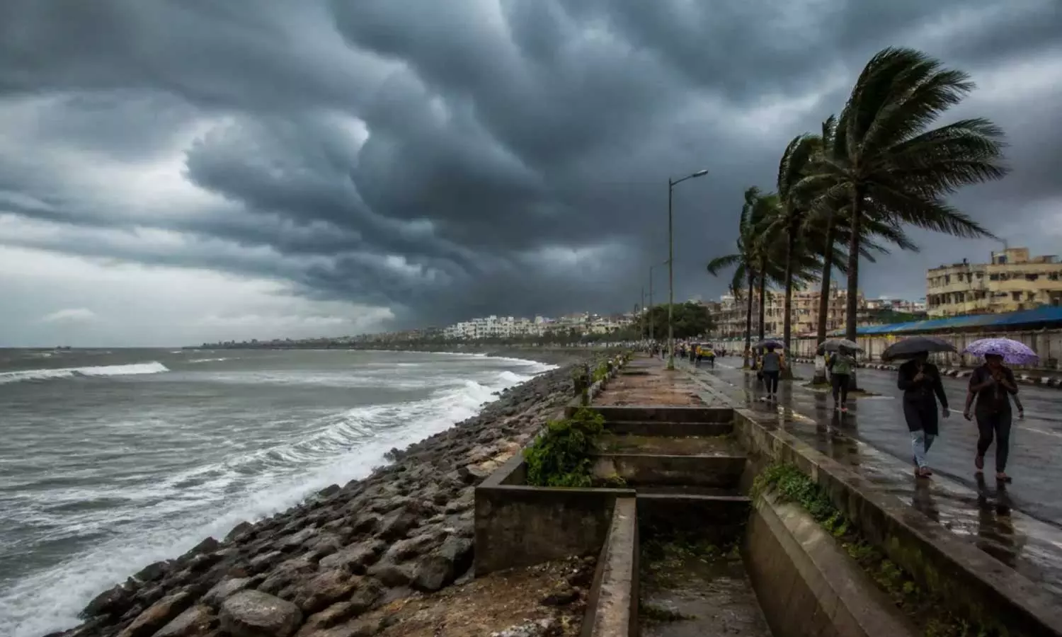
ଭୁବନେଶ୍ୱର: ବଙ୍ଗୋପସାଗରରେ ସୃଷ୍ଟି ହୋଇଥିବା ବାତ୍ୟା ଓଡ଼ିଶା-ଆନ୍ଧ୍ର ଉପକୂଳ ନିକଟତର ହୋଇଛି ବୋଲି ଭାରତୀୟ ପାଣିପାଗ ବିଭାଗ (IMD) ଆଜି ସକାଳ ୮:୩୦ରେ ଜାରି କରିଥିବା ସଦ୍ୟତମ ବୁଲେଟିନ୍ରେ ଜଣାଇଛି।
IMD ଅନୁଯାୟୀ, ପୂର୍ବ-କେନ୍ଦ୍ରୀୟ ଏବଂ ଏହାକୁ ଲାଗି ରହିଥିବା ପଶ୍ଚିମ-କେନ୍ଦ୍ରୀୟ ବଙ୍ଗୋପସାଗରରେ ଥିବା ଏହି ବାତ୍ୟା ଗତ ୬ ଘଣ୍ଟା ମଧ୍ୟରେ ଘଣ୍ଟା ପ୍ରତି ୧୫ କିଲୋମିଟର ବେଗରେ ପଶ୍ଚିମ ଦିଗକୁ ଗତି କରିଛି। ଆଜି ସକାଳ ୮:୩୦ ସୁଦ୍ଧା ଏହା ୧୫.୪° ଉତ୍ତର ଅକ୍ଷାଂଶ ଏବଂ ୮୮.୫° ପୂର୍ବ ଦ୍ରାଘିମା ନିକଟରେ କେନ୍ଦ୍ରୀଭୂତ ହୋଇ ରହିଛି।
ବର୍ତ୍ତମାନ ଏହା ଗୋପାଳପୁର (ଓଡ଼ିଶା) ଠାରୁ ଦକ୍ଷିଣ-ପୂର୍ବ ଦିଗରେ ୫୮୦ କିମି, ବିଶାଖାପାଟଣା (ଆନ୍ଧ୍ର ପ୍ରଦେଶ) ଠାରୁ ପୂର୍ବ-ଦକ୍ଷିଣ-ପୂର୍ବ ଦିଗରେ ୬୧୦ କିମି ଏବଂ ଶ୍ରୀ ବିଜୟ ପୁରମ୍ (ଆଣ୍ଡାମାନ ଦ୍ୱୀପପୁଞ୍ଜ) ଠାରୁ ଉତ୍ତର-ପଶ୍ଚିମ ଦିଗରେ ୬୨୦ କିମି ଦୂରରେ ରହିଛି।
Sub:Cyclonic Storm “Arnab” [Pronunciation: Ornab] over Eastcentral and adjoining Westcentral Bay of Bengal [Cyclone Warning for Andhra Pradesh and adjoining South Odisha coasts—Red Message]*
The cyclonic storm *““Arnab” [Pronunciation :Ornab]”*over Eastcentral and adjoining Westcentral Bay of Bengal moved westwards with a speed of 15 kmph during last 6 hours, lay centered at 0830 hrs IST of today, the 26th October, 2026 over the same region near latitude 15.4°N and longitude 88.5°E, 580 km southeast of Gopalpur (Odisha), 610 km east-southeast of Vishakhapatnam (Andhra Pradesh), 620 km northwest of Sri Vijaya Puram (Andaman Islands), 690 km east-southeast of Kakinada (Andhra Pradesh), 790 km east-southeast of Machilipatnam (Andhra Pradesh) and 860 km east-southeast of Bapatla (Andhra Pradesh).
It is very likely to move west-northwestwards and intensify further into a severe cyclonic storm over westcentral Bay of Bengal by midnight of today, the 26th October and into a very severe cyclonic storm over the same region on 27th October.
Thereafter, it is very likely to move northwestwards and cross Andhra Pradesh & Yanam coasts between Bapatla and Visakhapatnam close to Yanam as a very severe cyclonic storm with the maximum sustained wind speed of 115-125 kmph gusting to 140 kmph by forenoon of 28th October, 2026.— India Meteorological Department (@Indiametdept) October 26, 2026
ଏହି ବାତ୍ୟା ପଶ୍ଚିମ-ଉତ୍ତର-ପଶ୍ଚିମ ଦିଗକୁ ଗତି କରିବାର ସମ୍ଭାବନା ରହିଛି। ଆଜି ମଧ୍ୟରାତ୍ରି ସୁଦ୍ଧା ଏହା ପଶ୍ଚିମ-କେନ୍ଦ୍ରୀୟ ବଙ୍ଗୋପସାଗରରେ ଏକ ‘ତୀବ୍ର ବାତ୍ୟା’ (Severe Cyclonic Storm) ରୂପ ନେବ ଏବଂ ୨୭ ଅକ୍ଟୋବରରେ ସେହି ଅଞ୍ଚଳରେ ଏକ ‘ଅତ୍ୟନ୍ତ ତୀବ୍ର ବାତ୍ୟା’ (Very Severe Cyclonic Storm) ରେ ପରିଣତ ହେବ। ଏହା ପରେ, ଏହା ଉତ୍ତର-ପଶ୍ଚିମ ଦିଗକୁ ଗତି କରି ୨୮ ଅକ୍ଟୋବର ପୂର୍ବାହ୍ନ ସୁଦ୍ଧା ଆନ୍ଧ୍ର ପ୍ରଦେଶ ଓ ୟାନମ୍ ଉପକୂଳ ଅତିକ୍ରମ କରିବାର ସମ୍ଭାବନା ରହିଛି। ଏହି ସମୟରେ ବାପାଟଲା ଓ ବିଶାଖାପାଟଣା ମଧ୍ୟରେ (ୟାନମ୍ ନିକଟରେ) ଏହା ଅତିକ୍ରମ କରିବ। ସେତେବେଳେ ପବନର ବେଗ ଘଣ୍ଟା ପ୍ରତି ୧୧୫-୧୨୫ କିମି ରହିପାରେ, ଯାହା ଝଡ଼କା ରୂପେ ୧୪୦ କିମି ପର୍ଯ୍ୟନ୍ତ ପହଞ୍ଚିପାରେ।
IMD ପକ୍ଷରୁ ମତ୍ସ୍ୟଜୀବୀମାନଙ୍କୁ ସମୁଦ୍ର ମଧ୍ୟକୁ ନ ଯିବାକୁ ପରାମର୍ଶ ଦିଆଯାଇଛି। ଏହା ସହିତ ଦକ୍ଷିଣ ଓଡ଼ିଶା ଏବଂ ଉତ୍ତର ଆନ୍ଧ୍ର ଉପକୂଳରେ ପ୍ରବଳ ବର୍ଷା ଓ ଜୋରଦାର ପବନ ବହିବା ନେଇ ଚେତାବନୀ ଜାରି କରାଯାଇଛି।